About StraboSpot
StraboSpot is an application to collect geologic data in a field setting, and is designed to be used by geologists, geology students, and others. The application allows the collection of geologic data using a variety of...
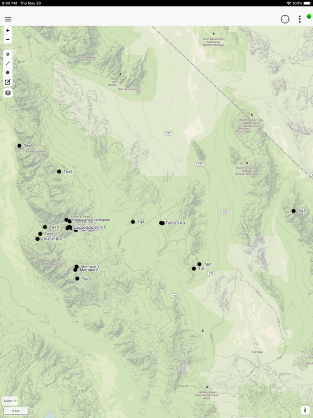
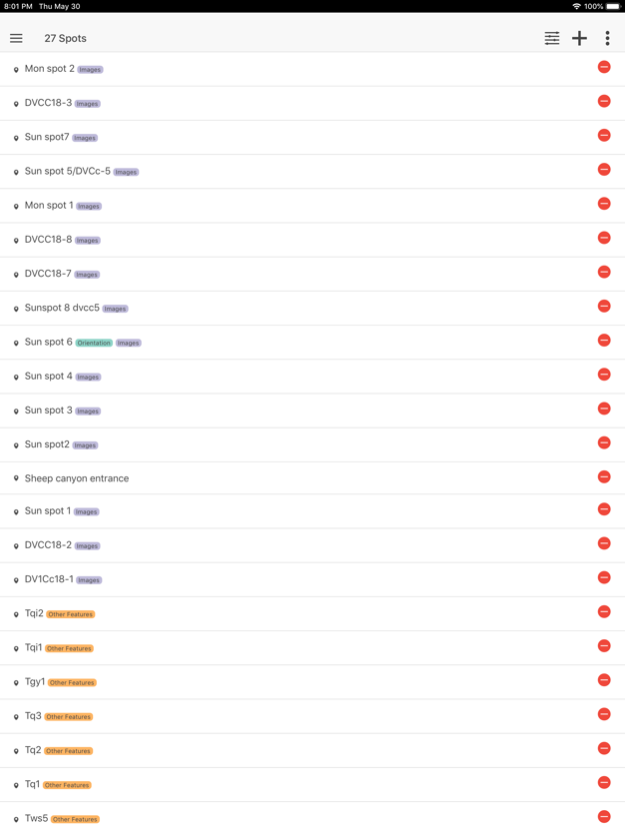
StraboSpot is an application to collect geologic data in a field setting, and is designed to be used by geologists, geology students, and others. The application allows the collection of geologic data using a variety of base maps - including maps, cross-sections, sketches, and images prepared by other users - referenced to their location on the Earth. StraboSpot utilizes a controlled vocabulary developed over years of discussion in the professional geologic community. The application uses nested spots (areas of observation) for spatial grouping of data and tags for conceptual grouping of data. The application currently focuses on Structural Geology and Tectonics data, but is expanding to include Petrology and Sedimentary Geology data.
The development of StraboSpot was sponsored by the United States National Science Foundation. It provides the ability to put field data into a transparent and open framework, allowing effective cyberinfrastructure development within the Earth Sciences. The data imported into StraboSpot is directly stored in a database that is designed to accommodate the digital data reporting requirements of National Science Foundation grants and allows retrieval by researchers. More explanation of StraboSpot and a desktop version with expanded tools are at https://strabospot.org.
StraboSpot uses a Neo4j graph database to give persistence to observations, photographs, or any other images imported by the user. The system compiles the complex relationships between observations (including temporal information, such as cross-cutting relations) and provide flexible options for access, editing, and sharing of field data.
The application will work on mobile devices with or without connection to Wi-Fi or Cellular networks. In offline mode, StraboSpot can store both Mapbox (https://www.mapbox.com) and Map Warper (http://mapwarper.net) to provide base maps for data collection. When an Internet connection is available, users both can upload collected information and backup their data on their iPad or iPhone.
Jun 18, 2020
Version 1.19.7
Fixed bug when switching lithologies. Sed form updates.
Previous Versions
Here you can find the changelog of StraboSpot since it was posted on our website on 2021-12-14 02:07:55.
The latest version is 1.19.7 and it was updated on 2024-04-19 22:32:45. See below the changes in each version.
StraboSpot version 1.19.7
Updated At: 2020-06-18
Changes: Jun 18, 2020 Version 1.19.7
Fixed bug when switching lithologies. Sed form updates.
Disclaimer
Official App Store Link
We do not host StraboSpot on our servers. We did not scan it for viruses, adware, spyware or other type of malware. This app is hosted by Apple and passed their terms and conditions to be listed there. We recommend caution when installing it.
The App Store link for StraboSpot is provided to you by apps112.com without any warranties, representations or guarantees of any kind, so access it at your own risk.
If you have questions regarding this particular app contact the publisher directly. For questions about the functionalities of apps112.com contact us.